Mineral exploration - trenching
Description
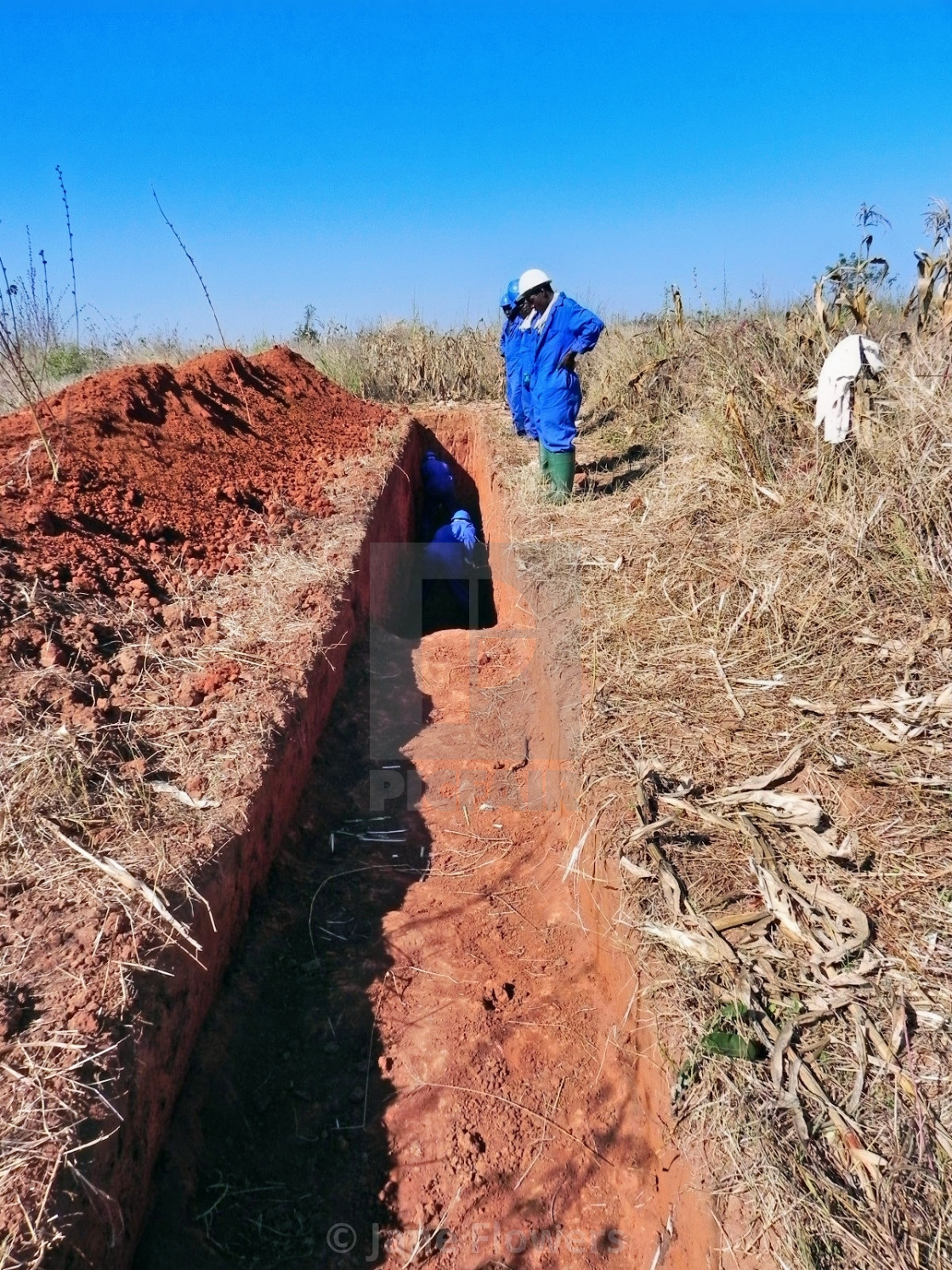
Taken from an elevated vantage point, this perspective reveals the strategic layout of the mineral exploration process at Ran Mine. The image shows the precise, hand-dug sampling trenches cutting through the Bindura landscape, guided by GPS data. This "bird's-eye" view emphasizes the scale of human effort required to map geological potential, transforming the rugged terrain of Zimbabwe into a grid of industrial data.
Formats
Digital Download
Printed Product
Buy
From $10.00